
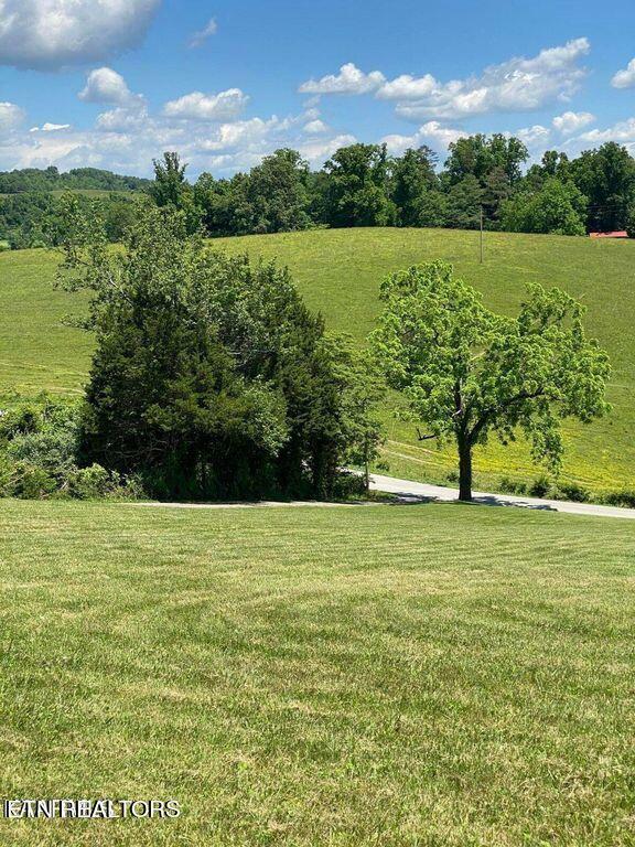
Discover the community
History
The area of far western Virginia and eastern Kentucky supported large Archaic Native American populations. The first known Europeans to enter what is present-day Lee County were a party of Spanish explorers, Juan de Villalobos and Francisco de Silvera, sent by Hernando de Soto in 1540, in search of gold.[3] The county was formed after the American Revolutionary War in 1792 from Russell County. It was named for Light Horse Harry Lee,[4] the Governor of Virginia from 1791 to 1794, who was famous for his exploits as a leader of light cavalry during the war. He was the father of Robert E. Lee, later a West Point graduate and career US Army officer who became the General in Chief of the Armies of the Confederate States during the American Civil War.
Lee County was the final front on the Kentucky Trace, now known as the Wilderness Road and The Trail of the Lonesome Pine. During the 1780s and 1790s, fortified buildings called "stations" were built along the trail for shelter from Indian raids as the settlers followed Daniel Boone's path into the Kentucky frontier. The stations in Lee County were Yoakum Station at present-day Dryden, west to Powell River and Station Creek at today's Rocky Station, then to Mump's Fort at Jonesville, followed by Prist Station, Martin's Station at Rose Hill, Chadwell Station at Chadwell Gap, Owen Station at Ewing, and finally Gibson Station, which still bears its original name. One of the largest early landowners was Revolutionary War officer and explorer Joseph Martin, after whom Martin's Station and Martin's Creek at Rose Hill are named. Due to his rank of command, Martin had been awarded some 25,000 acres (100 km2) in a land grant after the war. He divided the land and sold it as a speculator. Rose Hill was established in 1832 as the first federally recognized post office in Lee County. In 1814, parts of Lee, Russell, and Washington counties were combined to form Scott County. In 1856, parts of Lee, Russell, and Scott counties were combined to form Wise County, named after the last governor of Virginia before the Civil War.
Tennessee to Jonesville Va.
Upon entering Virginia, US 58 also enters Lee County and becomes Wilderness Road. The divided highway makes a reverse turn heading generally towards the east, in a forested region, before turning east-northeast after to the south of the Wilderness Road entrance to the Cumberland Gap National Historical Park. US 58 crosses over Station Creek, before curving due east through the hamlet of Gibson Station. Past Gibson Station, the highway passes northeast through an area of a rolling hills with homes surrounding either side of the road. It is paralleled by Indian Creek on its southeast side, with the route crossing over its Pendleton Branch, prior to intersecting SR 691 in the village of Wheeler. US 58 continues northeast from Wheeler, before turning due east again while passing along the southern edge of the Wilderness Road State Park. The route crosses Indian Creek twice, before intersecting SR 684 to the southwest of a park and ride lot, and the DeBusk Veterinary Teaching Center of Lincoln Memorial University. The route then dips south through more rural areas of rolling hills, residences, and farmland before turning northeast once more. After passing through some hill cuts with stone sides and crossing over the Roaring Branch of Indian Creek, US 58 reaches the unincorporated town of Ewing. At Ewing, the route reaches its first intersection with a gantry, as its intersection with SR 724 has a blinking yellow light above it. US 58 continues northeast through more rural forests and farmland along the southeastern slope of Poor Valley Ridge, before reaching the unincorporated town of Rose Hill. In Rose Hill, more businesses and houses appear along the edges of the road, and a jersey barrier briefly forms in the median before the road crosses over the White Branch of the Powell River. Beyond the crossing, the median reverts to a grassy surface as US 58 leaves Rose Hill. The route continues to pass more homes, mainly in the traditional style, and businesses, mainly those that are timber shed retailers, before it makes a brief turn to the due east. Here US 58 crosses over Burning Well Road, Hardy Creek, and the railroad line of CSX Transportation (former L&N) leading to the Hagan's Switchback, on a twin-span beam bridge. The route then turns back towards the northeast and crosses the Hugh C. Chance Memorial Bridge. US 58 then makes a curve to the southeast through hilly wooded areas, before crossing over Dry Creek and meeting State Routes 880 and 758 at an intersection. The latter road provides access to the Lee County Airport. Past the intersection, US 58 briefly gains an eastbound climbing lane, before narrowing back to two lanes in each direction. The route continues east before heading northeast through wooded residential areas. Soon US 58 narrows to a two-lane rural road heading east through hilly residential zones entering the town limits of Jonesville, the county seat of Lee County.
Activities and attractions
ATTRACTIONS |
LEE COUNTY VIRGINIA TOURISIM
White Rocks, Rose Hill
Wilderness Road State Park, Ewing
Cumberland Gap National Park
Coal Miners Memorial, St. Charles


© 2023 MoxiWorks
