
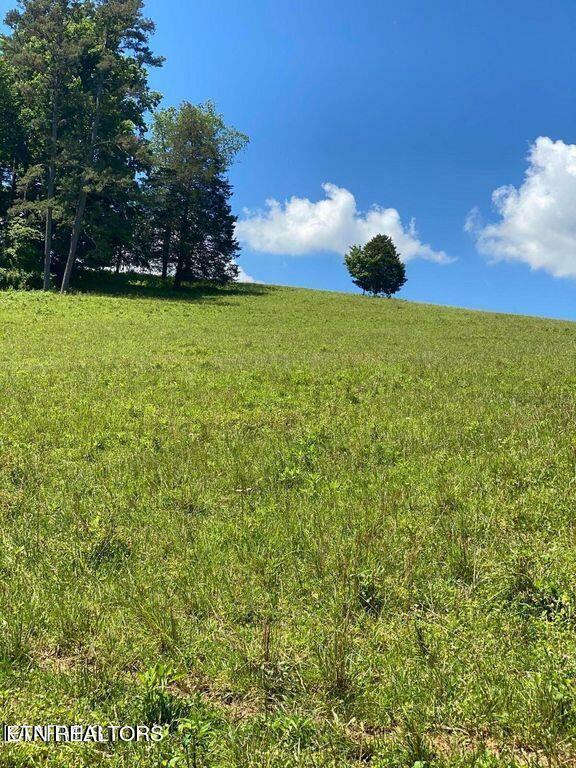
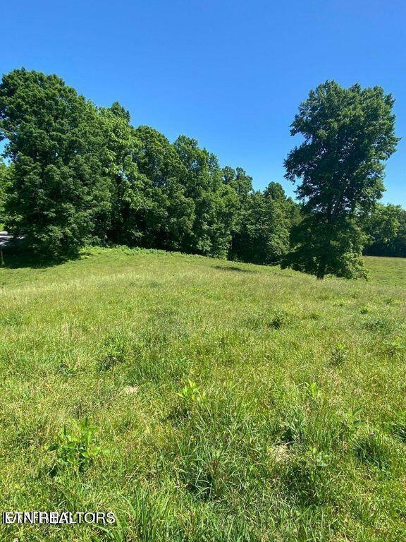
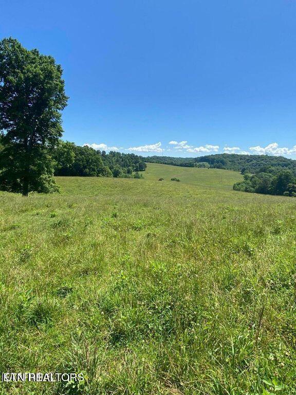
Discover the community
History
Claiborne County was established on October 29, 1801, created from Grainger and Hawkins counties and extended the southern boundary to Anderson County. It was named for Virginia tidewater aristocrat William C. C. Claiborne, one of the first judges of the Tennessee Superior Court and one of the first representatives in U.S. Congress from Tennessee.[4]
Like a few other East Tennessee counties, Claiborne County was largely opposed to secession on the eve of the Civil War. In Tennessee's Ordinance of Secession referendum on June 8, 1861, the county's residents voted against secession by a margin of 1,243 to 250.[5]
The Four Seasons Hotel was built on the location of present-day Lincoln Memorial University in 1892 by an English land company, the American Association Limited, which was led locally by flamboyant businessman Alexander Arthur. At the time, it was reported by its promoters to be the largest hotel in the United States. The main building was four stories high with a lobby 75 feet square and a dining room 50 feet by 160 feet. It was reported to contain 700 rooms. Also included in the complex were a hospital, an inn, a sanitarium, and other smaller buildings. The hotel was not a success and was demolished in 1895. During its operation, the Four Seasons Hotel offered buggy rides to nearby English Cave, which had been improved with wooden stairways, walkways, and bridges. The rotting remains of these wooden structures can still be seen in the cave.[6]
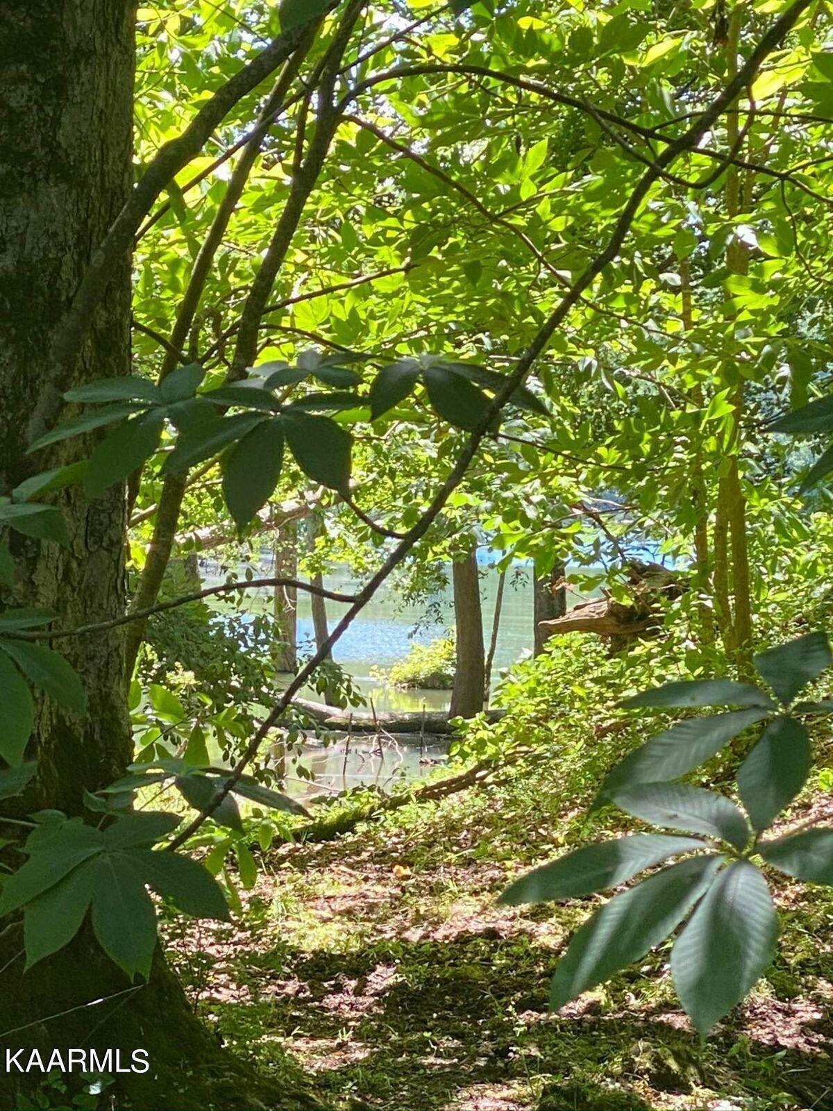
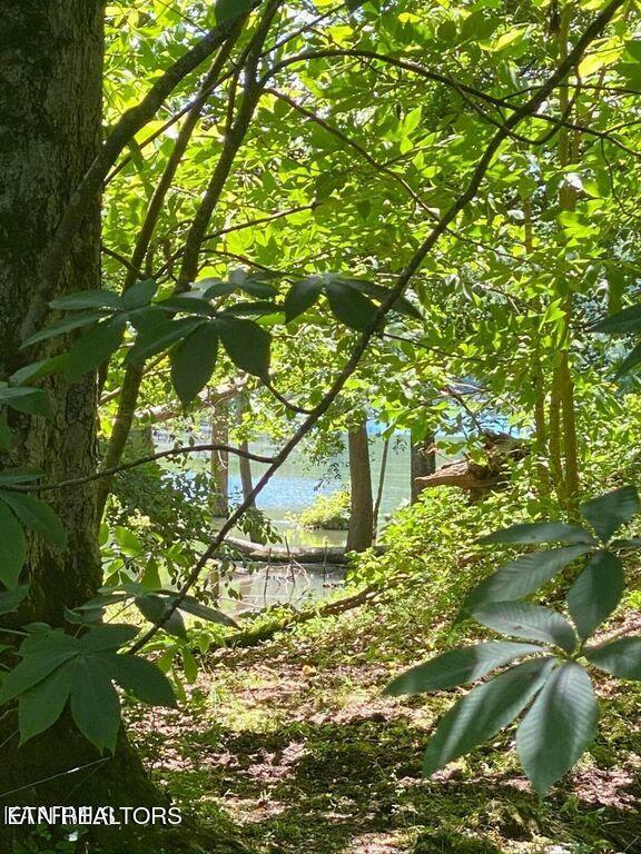
Norris Lake
Norris Lake was created by the Norris Dam, which was the first project taken on by the TVA as part of the New Deal. Construction began in 1933, and the project was finished in March 1936. The dam cost about $36 million to build. The dam is 265 feet high, and extends 1,860 feet across the Clinch River. Construction of the dam also created the nearby town of Norris which was created to house the workers and their families.[2] Norris Dam was primarily built for flood control in the area and it still serves that purpose today. The dam also provides electricity with two generating units, each unit having a generating capacity of 65.7 megawatts (a combined generating capacity of 131.4 megawatts). The power plant generated about 302 gigawatt-hours in 2007.[3] The dam and its reservoir have a flood storage capacity of about 1,113,000 acre-feet.[4]
Norris Lake extends about 73 miles up the Clinch River and 56 miles up the Powell River from Norris Dam. It has a flood storage capacity of about 1,113,000 acre-feet, and it has about 800 miles of shoreline and 52.9 square miles (33,840 acres) of water surface. The lake has a maximum width of about 1.2 miles and a maximum depth of 210 feet, and these make it the largest lake on a tributary of the Tennessee River.
As of 2011, Norris Lake has an ecological health rating of fair.[5][6][7] The TVA has put into effect a clean water initiative to improve the cleanliness of the lake.
Cumberland Gap National Park & The Cumberland Mountains
Cumberland Gap was the first great gateway to the west. Come follow the path of bisons, Native Americans, long hunters, and pioneers. Walk where 300,000 people crossed the Appalachians to settle America. Explore 85 miles of trails and 14,000 acres of wilderness. Stand in 3 states at once. Explore a cave, see Hensley Settlement, or camp under the stars. Come find your connection to Cumberland Gap.


Discover places


OLYMPUS DIGITAL CAMERA


Welcome to Claiborne County Tennessee
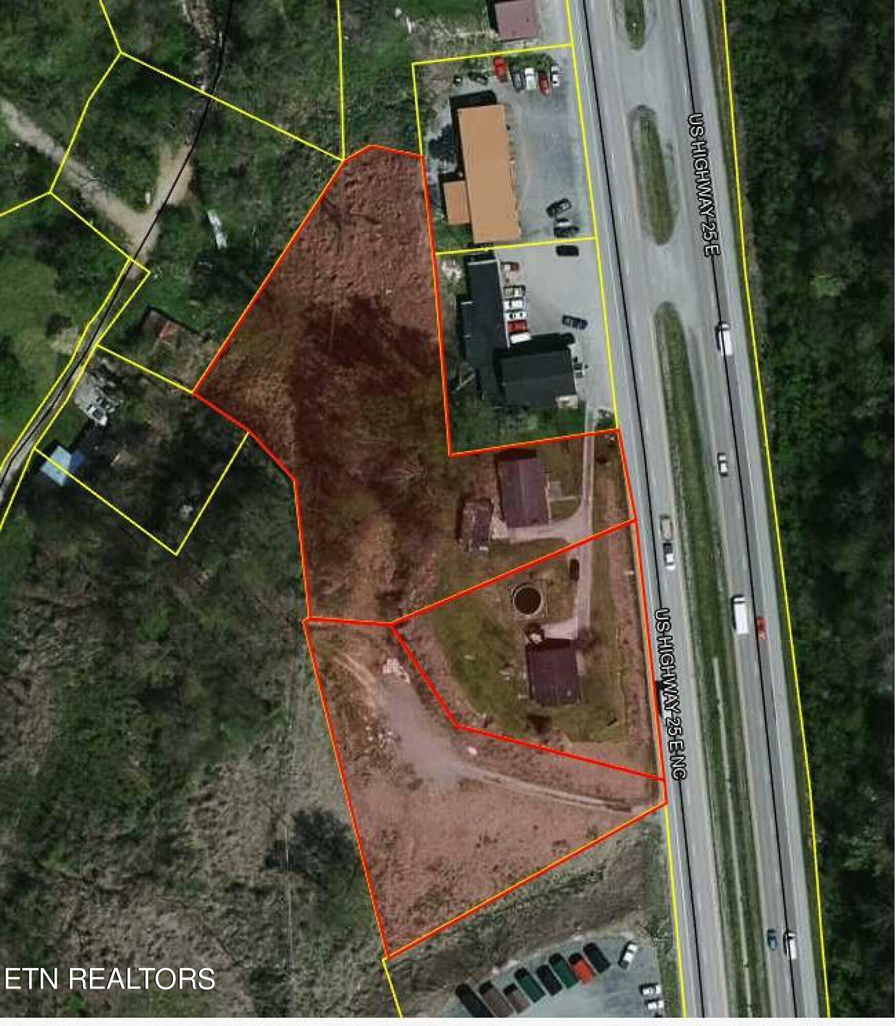
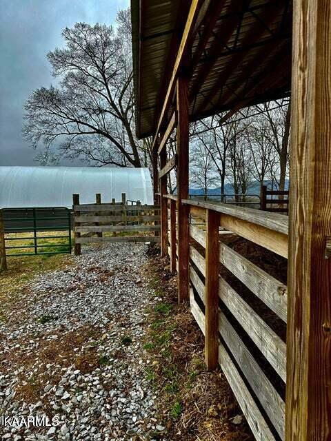
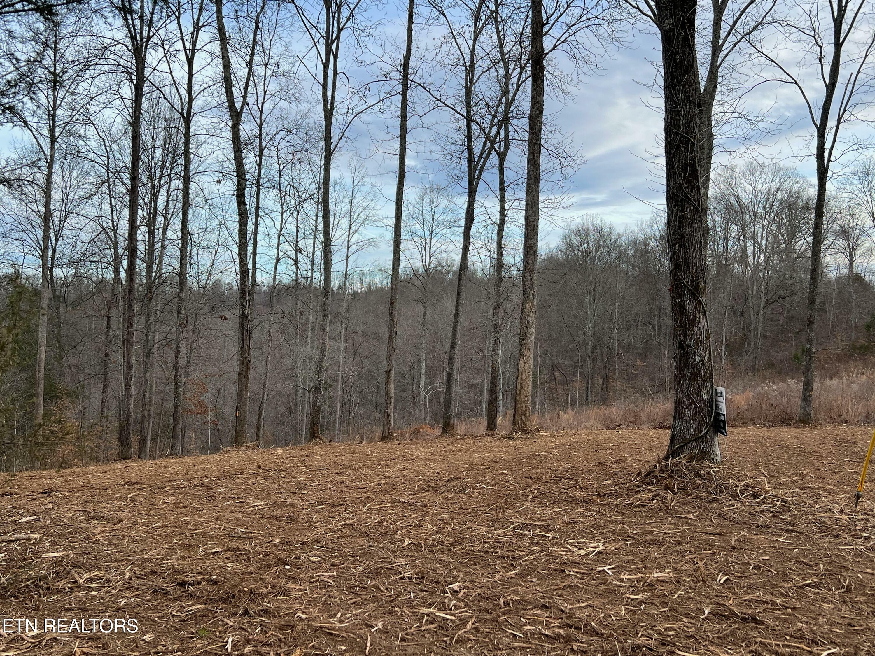
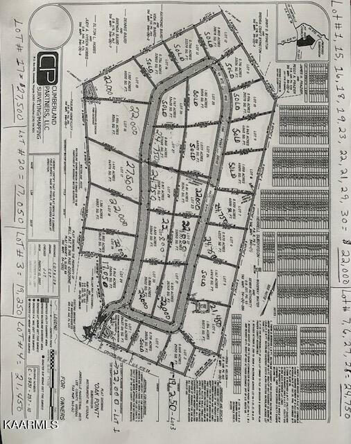
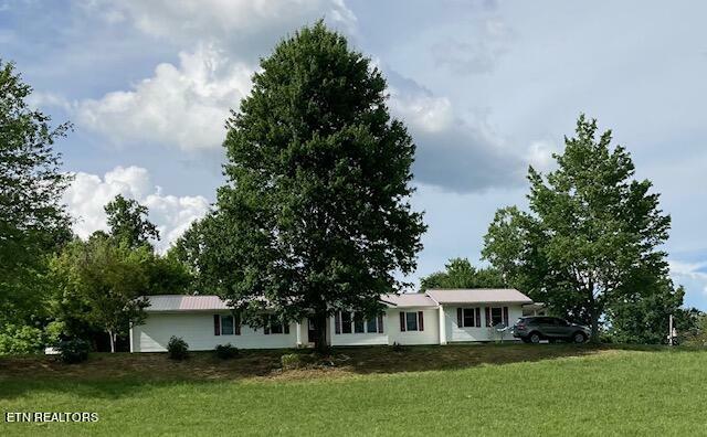
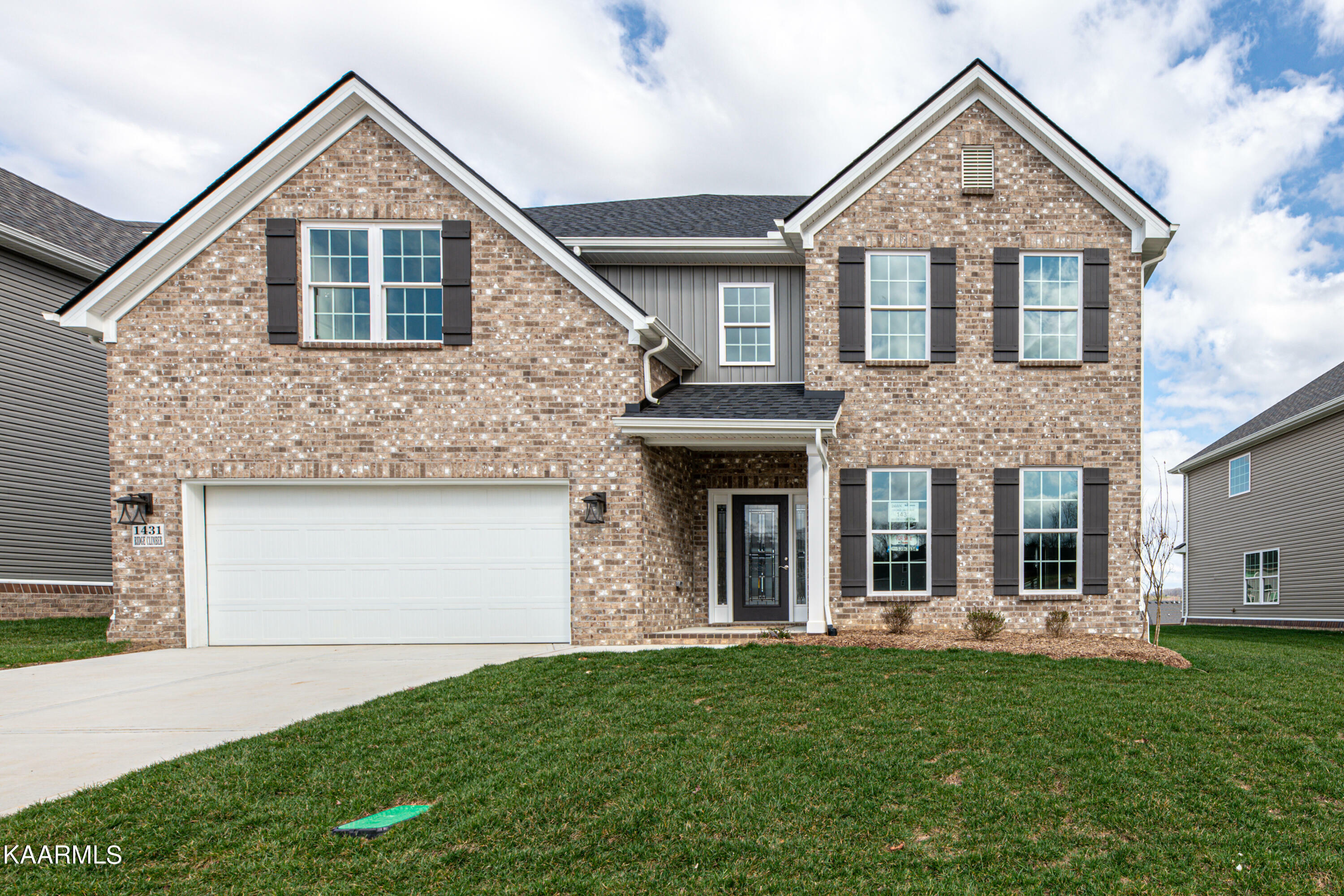
Featured Properties


© 2023 MoxiWorks
